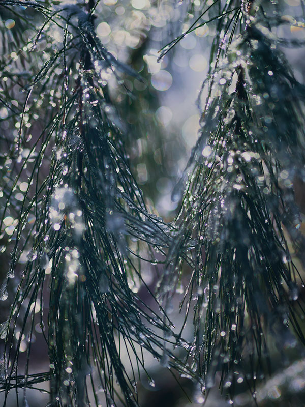
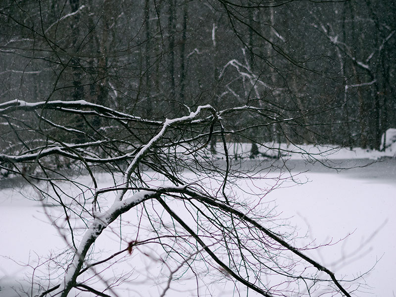
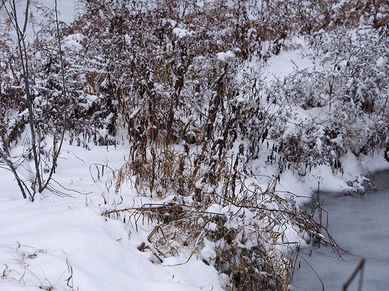
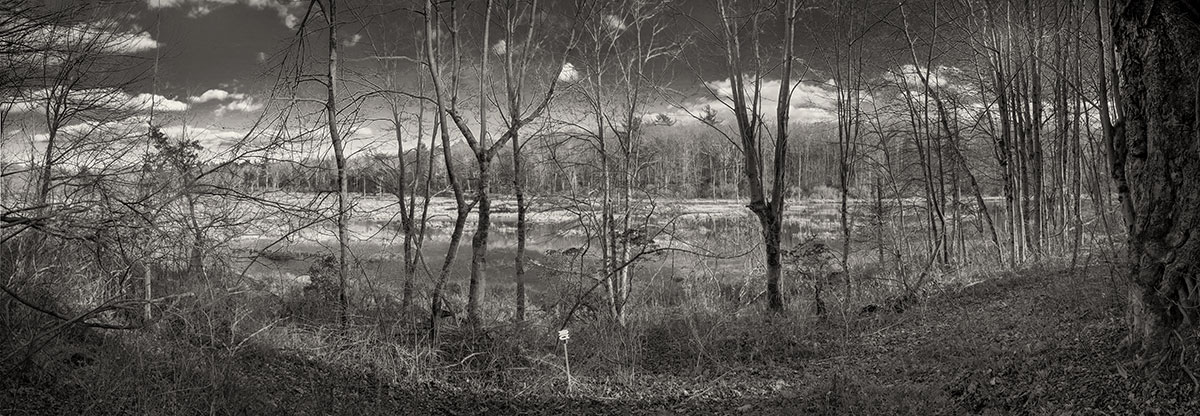
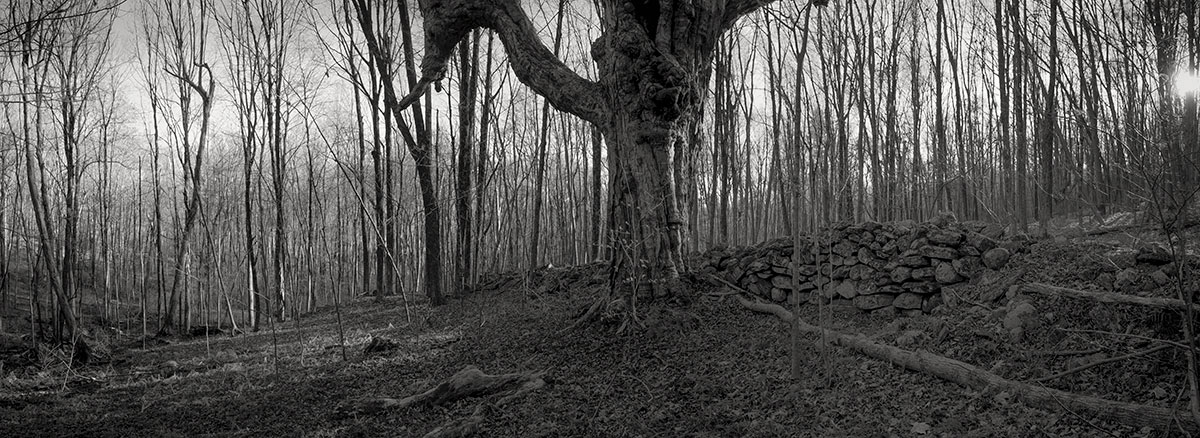
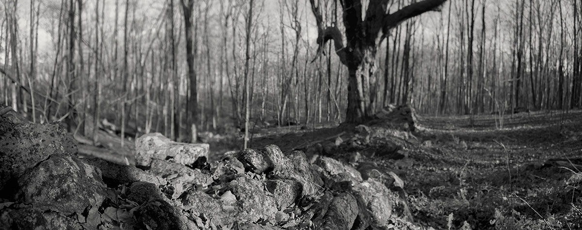
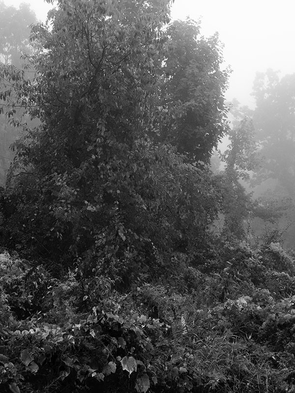
Yesterday was the first hike on the Tunxis Trail since our snowstorm. This walk took me north of the Indian Council Caves, up into the last ten miles of woods below the state border. Aside from a very cold hunter near the gate where I’d parked, I saw no one.
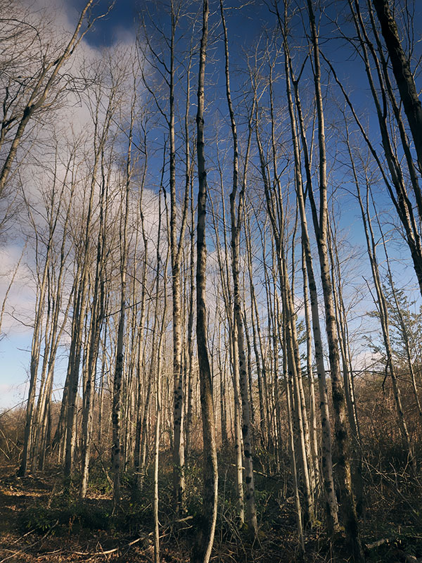
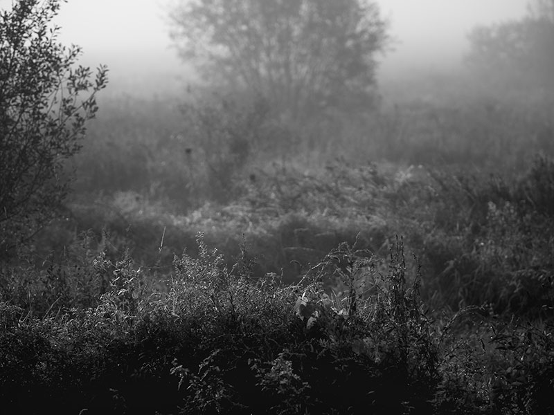
The long format picture conveys what much of the area looks like now: snowy woods with many square miles of mountain laurel. For me, all that cold and quiet is welcome news.
The picture is a stitch of 6 consecutive vertical images taken with a normal focal length lens. Before I took the exposures, I swept the scene a few times from right to left in my viewfinder. I find that if you do this slowly, the composition will reveal itself.